WWR Walking Routes
Explore Our Walking Maps
Discover a growing collection of walking routes created by EPIKS through the Walk Wheel Ride initiative. These maps are designed to help you explore local landscapes using sustainable, active travel, whether that’s on foot or combined with public transport.
Each route has been carefully developed to be easy to follow, accessible, and enjoyable at your own pace.
Walks By Bus in the Holme Valley
The Walks By Bus series features four walking routes across the Holme Valley all within easy travelling distance of Holmfirth Bus Station, and designed to be accessed by public transport. Funded by Holme Valley Parish Council, these maps make it simple to leave the car behind and explore some of the area’s most scenic landscapes. Below you can download a printable PDF maps or click here to follow along on your device.
For folding instructions for these maps see here.
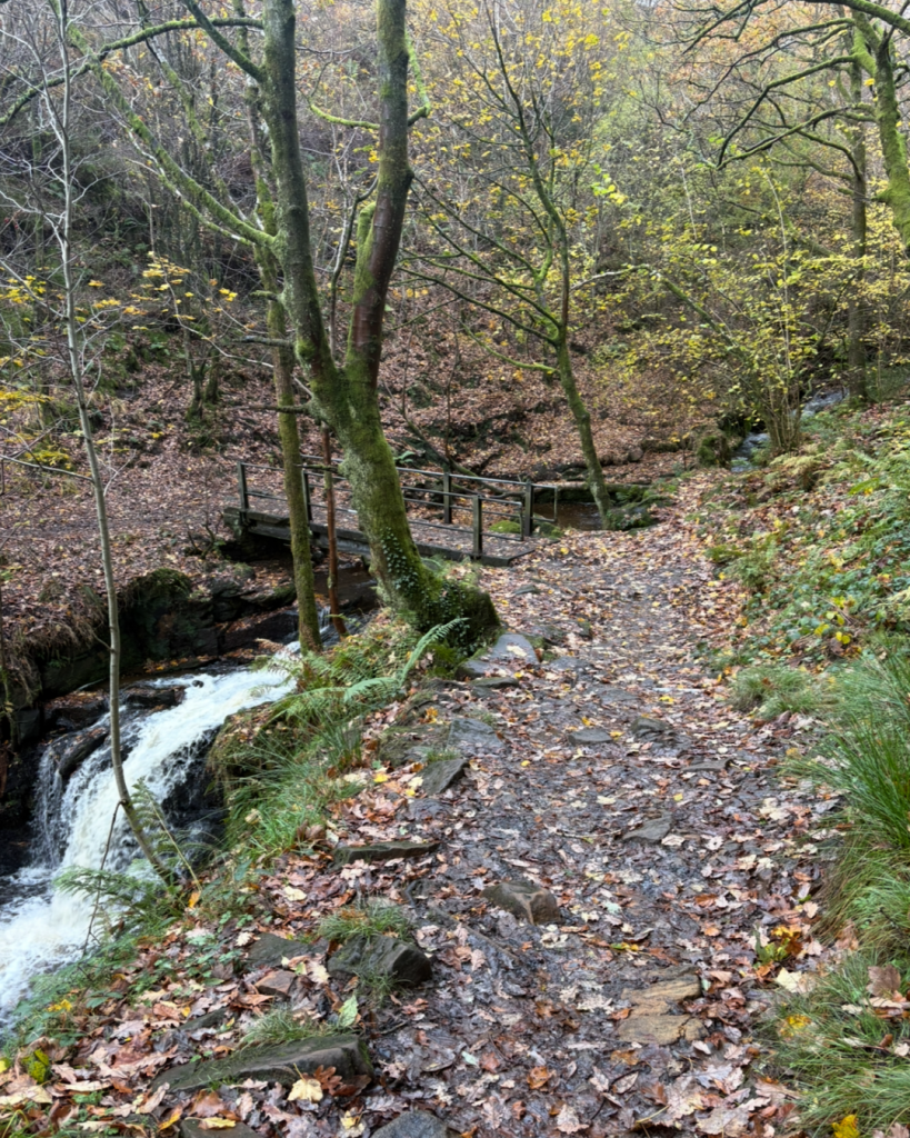
Follow along the riverside paths from Holme to Holmfirth
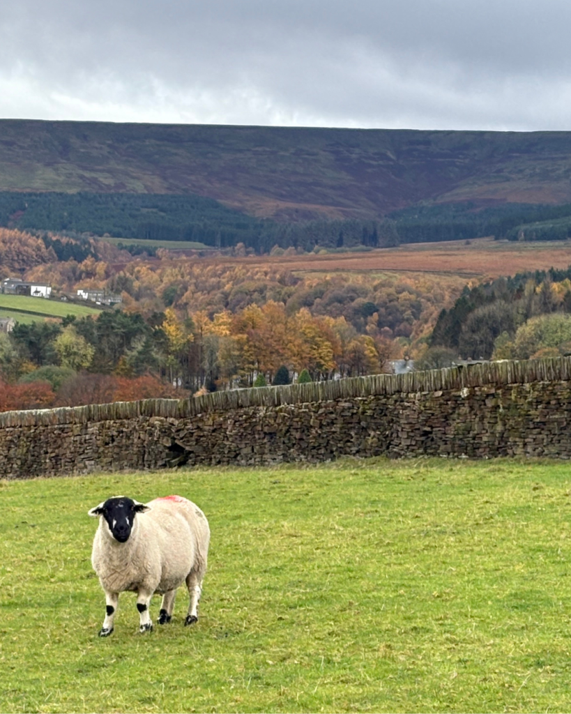
Across the fields from Upper Cumberworth to New Mill
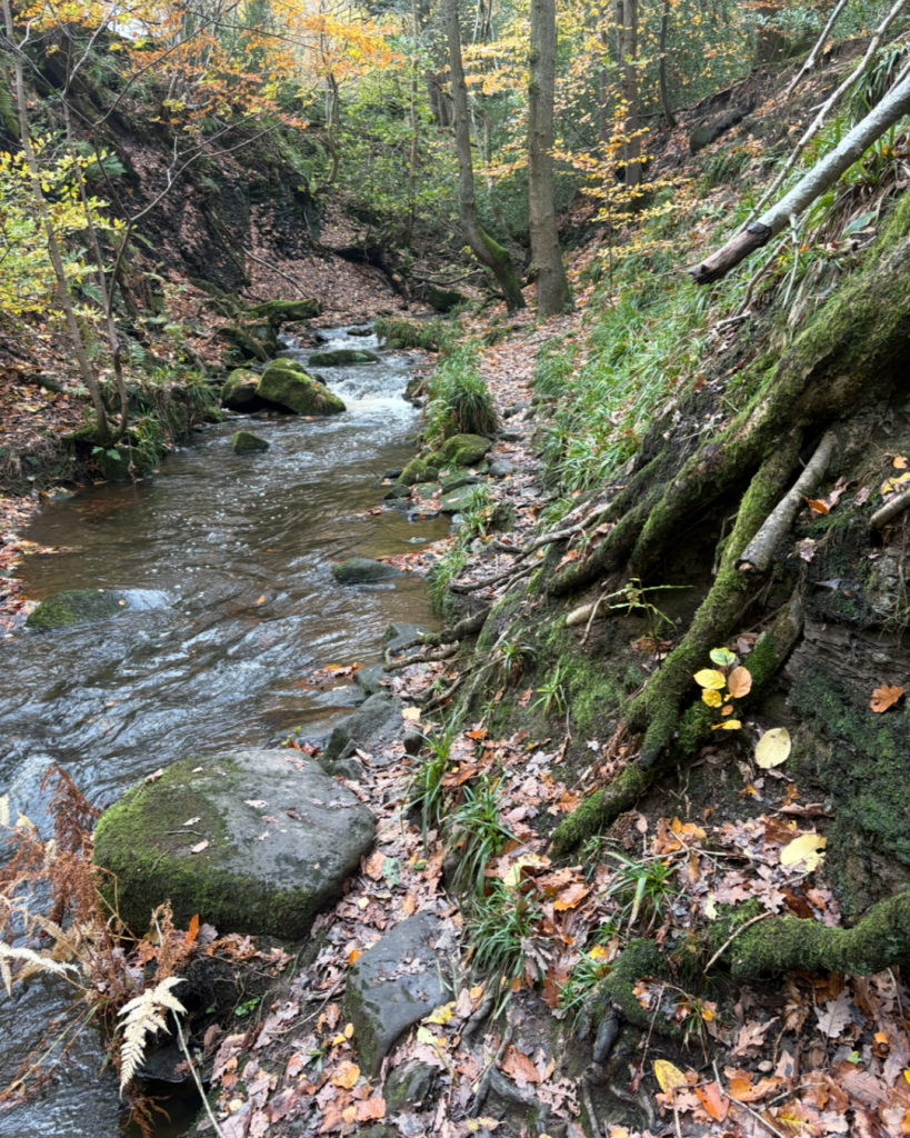
A woodland adventure from Hepworth to Holmfirth
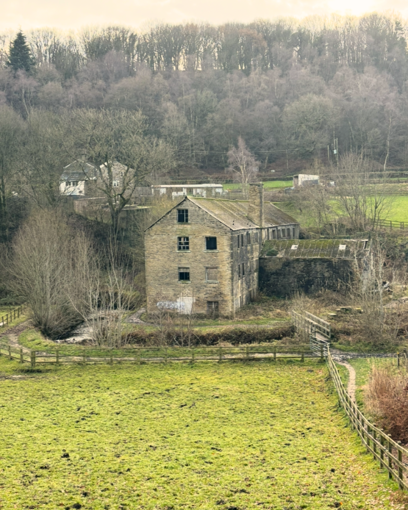
The Magdale circular through charming Spring Wood
Guided Nature Walks from Huddersfield Railway and Bus Stations
COMING SOON
About These Walks
Each walk has been designed to highlight:
- local habitats and wildlife
- areas of ecological interest
- accessible green space
- heritage and landscape features
All routes have been tested, mapped, and/or walked with groups in the past year.
Share Your Walk
Have you tried one of these routes? We’d love to see photos from your adventure!
Send us your shots and feedback at office@epiks.org.uk, and you might see them featured on our social channels.
Acknowledgements
This project is delivered in partnership with West Yorkshire Combined Authority, Transpennine Route Upgrade and Holme Valley parish Council, supporting our shared goal of promoting sustainable, active travel.
Don’t miss out…
If you’re looking for upcoming Walk Wheel Ride led walks, head over to our Events page to see what’s on.